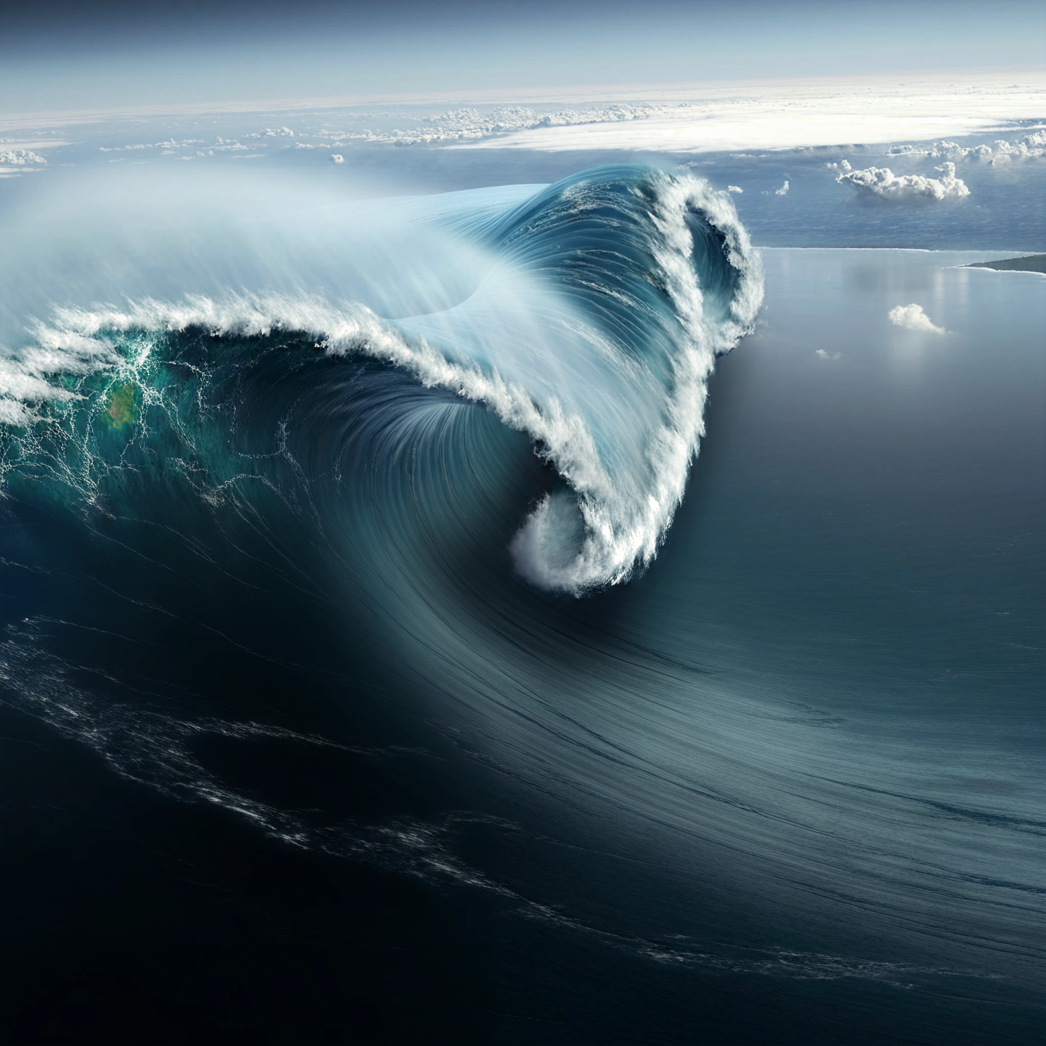
On May 8, 2022, an event in Resurrection Bay, Alaska, provided scientists with groundbreaking insight into how to detect and monitor landslide-generated tsunamis. The occurrence marked the first time a ship-mounted satellite receiver captured data from such an event, paving the way for advanced warning systems and a better understanding of these rare but hazardous phenomena.
Unraveling the Landslide
A landslide near Seward, Alaska, sent debris plunging into Resurrection Bay, generating a series of tsunami waves. Although relatively small, these waves were significant enough to be captured by the research vessel R/V Sikuliaq, which was moored just 650 meters from the site. The timing couldn’t have been better. Equipped with an advanced Global Navigation Satellite System (GNSS) receiver, the vessel tracked critical data on the event.
The satellite system, installed by the ship’s science operations manager Ethan Roth, recorded vertical movements of the ship down to centimeter precision, capturing not only the aftermath but the propagation of the waves themselves.
Satellite Technology at the Forefront of Detection
Led by researchers from CIRES (Cooperative Institute for Research in Environmental Sciences) and the University of Colorado Boulder, the study showcased how advanced GNSS data processing could track tsunamis caused by landslides. A time series was constructed to highlight the ship’s change in vertical position before, during, and after the event. Comparing this data to simulation models from Geophysical Research Letters confirmed that the ship had indeed recorded the precise effects of the tsunami on the bay’s waters.
Unlike earthquake-induced tsunamis, landslide-generated tsunamis are harder to predict and detect due to their localized nature. The ability to capture these events using satellite receivers not only boosts our ability to monitor such occurrences but also holds promise for creating early-warning systems that could save lives in the future.
“This research proves that we can utilize ships to pinpoint the timing and extent of these landslide tsunami events,” said Adam Manaster, the study’s lead author.
Applications for Coastal Communities
Landslide-generated tsunamis, although less frequent than earthquakes, pose severe risks to coastal and fjord communities, where towering cliffs can amplify waves. Current detection systems often rely on earthquake monitoring, which overlooks ground movement caused by landslides.
This breakthrough not only bridges a crucial gap in tsunami science but also offers promising implications for coastal safety. By equipping more vessels, especially commercial ships, with real-time GNSS systems, scientists could process data faster and issue timely warnings.
Anne Sheehan, co-author and CIRES fellow, emphasizes the potential here. “Many ships now come with real-time GPS tracking, but mass implementation would require close collaboration with the shipping industry to make this data accessible to researchers.”
Challenges and the Path Forward
While this discovery is a monumental step forward, implementing such systems on a larger scale will require new partnerships and technology-sharing initiatives. The development of open-source software tools and continued refinement of landslide-tsunami models will be instrumental in expanding this methodology.
One of the study’s key takeaways is that precision data from GNSS sensors onboard ships can significantly contribute to disaster preparedness, especially in remote or high-risk coastal regions where land-based systems are scarce.
The Broader Impact on Tsunami Research
The research builds on past studies that used GPS sensors on commercial vessels to monitor tectonic tsunamis, extending this capability to landslide-induced events. This achievement underscores the versatility of ship-mounted sensors for collecting critical real-time data directly from tsunami zones.
By addressing the challenges posed by localized, hard-to-detect-tsunamis, this technology reaffirms the important role of scientific innovation in disaster management. It also highlights the importance of interdisciplinary collaboration, with contributions from CIRES, CU Boulder, the USGS, and the University of Alaska Fairbanks.
Ensuring Safer Shores
The successful detection of a landslide-generated tsunami in Resurrection Bay is a vital leap forward in our understanding of natural disasters. By integrating satellite technology into tsunami monitoring systems, we move closer to safeguarding coastal populations and improving global resilience to such hazards.
The researchers’ work points to a future where data from nearby vessels could form the backbone of enhanced early-warning systems. This innovation is not only a testament to human ingenuity but a lifeline for communities vulnerable to the devastating impacts of tsunamis.